Huthwaite Addressing
Strawberry Bank
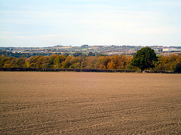
This succulent addressing had been generally given steep south and west facing slopes, plus area above when historically referencing Nottinghamshire's highest recorded point. Harper Lane had formed a narrow cart track along ridge top, following natural contours leading through extreme west edge into Teversal, and further Derbyshire. Siting a Whiteborough railway station platform below Strawberry Bank invited more traffic along a surfaced Lane, newly called Station Road before identifying main destination to Chesterfield Road.
Huthwaite Urban District Councillors began the first phase of residentially developing a Chesterfield Road scheme from 1932. The initial 40 houses completed following year, soon realised how desperate demand was, quickly pushing plans for another 40 and also encouraging private builders. The first ten houses were presented to R. Ashmore, J. Birch, H. Clipstone, H. Davies, P.J. Elliott, L. Hague, T. Reddington, H. Sevens, G. Ward and E. Burrows, after which came the need to formally provide them suitably chosen addressing.


The residentially lined roadway directly overlooking Strawberry Bank clearly suggested obvious addressing. For a crescent of houses behind, Woodland Avenue was also unanimously chosen, retaining recognition for an old cottage where previously influential family names of D C and A C Evans had once been born.
 These homes would benefit from supplies of not only mains water and gas, but also recent introduction of electricity. Apart from standard upgrades and maybe some privately owned improvements, the council built properties stand pretty much unchanged. A plaque sited 2003 by Ashfield District Council notes how the landmark claimed the counties highest natural point, raising a contentious subject, long after later housing developments probably affected its historic status. It points out distantly sighted areas, while opportunity is taken to view the natural landmark from surrounding places, showing how this ridged prominence had so descriptively named this early Huthwaite settlement.